
About this site
In Scotland, the Scottish Parliament has responsibility to oversee the local government elections, but there are very few joined-up resources to look at the council elections as a whole, as each council runs their own election and publishes data on their own website. The Electoral Management Board administrates the local government election process in Scotland and does provide some useful data.
However this site is one citizen‘s effort to provide a map-based interface to the data across all wards in Scotland. It uses the crowd-sourced extraction of data from the SOPNs (Statement of Persons Notified) produced as PDFs by individual councils.
This site is made possible by the members of Democracy Club who have given their time to manually enter all the candidate information from each SOPN published by the councils. Hopefully this interface to the data will make a valuable contribution to this episode of local democracy.

About the developer
(pictured above on the right)
This site is provided without any statutory capacity. It has been put together by Gerry Mulvenna, a programmer currently living in Stirling and regular presenter on Indy Live Radio, who wanted to help other voters access the necessary information to cast their votes in the Scottish local elections. Gerry believes that STV (Single Transferable Vote) is the best available voting system and would like to see it introduced for all the elections in Scotland. He hopes that an improved voter engagement in the Scottish local elections will increase familiarity with STV among the voters of Scotland.
Find Gerry Mulvenna at @gerrymulvenna on Twitter
Credit to @electionsNI
This site took its starting point from the work carried out by Bob Harper (@bobdata on twitter) for the #AE17 assembly election in Northern Ireland, which is available at http://electionsni.org
About the candidate data
The candidate data is crowdsourced by the Democracy Club. For more details on the Democracy Club data see https://candidates.democracyclub.org.uk/help/api.
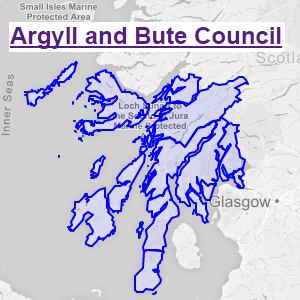
About the map data
- Map data came primarily from the Boundary Commission for Scotland with the top-level Scottish council boundaries coming from the Ordnance Survey boundary line package.
- The open source application QGIS was used to convert the shapefiles into GEOJSON format with latitute longitude coordinates (EPSG:4326)
- The Map Shaper application was invaluable for simplifying the GEOJSON data to achieve the required level of (less) detail for our purpose and to drastically reduce the size of the boundary data. Map Shaper is a very efficient and easy to use online application at https://mapshaper.org/.